Hello there friends.
Well i want to tell you a nice method in order to utilize the airstrips in Aegean theater with precision, in bad weather/low fog.
So some times we may find ourself to be with low fuel or with damage and needed to have an alternative airport for landing. But that airport it may be an airstrip and the weather may be bad or we may have low fog.
In these cases, this is what you can do in order to land the aircraft with safety and precision:
ALL the airstrips in Aegean NavAids list has the GPS coordinates in the middle of their RWY. The airstrips have a RWY of almost 6,000 FT or almost 1 NM.
So each one RWY threshold has a distance of 0.5 NM from that fix, means from the middle of their RWY that we have the GPS coordinates.
Now for a 2.5 degrees slope we have 265 FT/NM. That means for a distance of 4 NM we have a variation in altitude of 4x265=1,060 FT.
Finally out at 4 NM of RWY threshold or 4.5 NM away from the middle of the RWY of an airstrip (of the fix that we have GPS coordinates) we must be 1,060 FT above the RWY elevation. Then we can execute a nice 2.5 deg. descent.
So my personal rule for airstrips (and ONLY for airstrips) is: out at 4.5 NM of middle of the RWY (see the GPS coordinates in the NavAids list) be at (1,060 FT + RWY elevation) and then execute a 2.5 deg. descent while keep at the HSI the RWY heading as course centered!
This will bring you almost perfectly to RWY threshold of the desired airstrip.
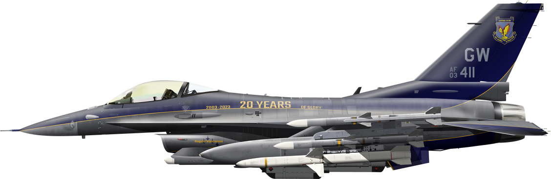
Let's see an example below, my approach to RWY 27 of airstrip Milos. Milos has RWY elevation of 20 FT, so my FAF will be at 4.5 DME out of Fix with N36 42.085' and E24 16.993' (from NavAids list) at 1,060+20=1,080 FT with course at HSI 090 (as a Radial for inbound to Fix with heading of 270 deg.).
Below i'm exactly at FAF (4.5 DME from Fix) ready to start the dive for a 2.5 deg. descent
Below i'm at 2.2 DME from Fix (or at 2.2-0.5=1.7 NM from RWY 27 threshold) with my 2.5 deg. descent established
Below i'm at 1.1 DME from Fix (or at 1.1-0.5=0.6 NM from RWY 27 threshold). This is the point of DA for an ILS approach. Notice that i still have no RWY in sight due to low fog (fog settings from 0 FT to 3,645 FT or visibility of 0.6 NM)
Below at 56/61=0.92 DME (or 0.92-0.5=0.42 NM from RWY 27 threshold). The RWY just be seemed now. Notice how well aligned i'm! My FPM needs a small correction to below in order to i have a touch down early due to small RWY length!
Here the correction to my FPM (Flight Path Marker) already made and i'm ready to touch down
And last "touch down" from outer view
I hope to help you with that specific method.
Pay attention to these:
- Use as a Fix the GPS coordinates of the Aegean NavAids list.
- Calculate the altitude by add 1,060 FT to RWY elevation.
- Your FAF will be at 4.5 DME of the Fix at the calculated altitude. Use as Radial the opposite RWY and have an inbound course on this.
- Your touch down will be at 0.5 DME (30/61).
- Be advised: DO NOT place the FPM over the STPT sign (diamond)! Place it over the 2.5 deg. pitch dive ladder!
If you have any questions feel free to ask. My pleasure to help you.
Nikos.