Home
Staffel
Events
Regeln
Staffeltreffen
Historie
In Memoriam
Dokumente
Getting Started
Ausbildung
Handbuch
ACMI
Links
War Story
Forum
Anmelden
Registrieren
Suche
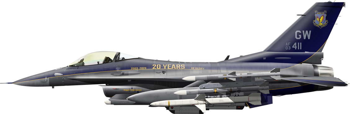
1st Glory Wings
Virtual Fighter Squadron
Alles
Alles
Artikel
Forum
Galerie
Seiten
Erweiterte Suche
1st Glory Wings
Mitglieder
Neystratiou
Beiträge von Neystratiou
Es wurden keine Einträge gefunden.
In deinem Webbrowser ist JavaScript deaktiviert. Um alle Funktionen dieser Website nutzen zu können, muss JavaScript aktiviert sein.